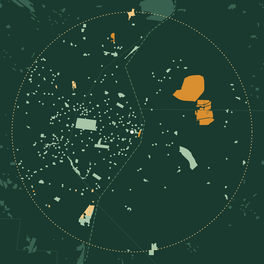
Map of the parks within 12 miles of downtown St. Louis, drawn with their real boundaries; Forest Park sits west of downtown, and the large state sites at Horseshoe Lake and Cahokia Mounds are across the river in Illinois
City County State, national & conservation Beyond 12 miles

National and state land first 261–270 of 397

  1. Oak Tree Park

    City park7.5 miSt. Louis County

    Be the first
  2. Oakhaven Park

    City park9.7 miSt. Louis County

    Be the first
  3. Officer Blake C. Snyder Memorial Park

    City park10.1 miSt. Louis County

    Be the first
  4. Old Lincoln Trail Park

    City park9.8 miSaint Clair County, ILSaint Clair, IL

    Be the first
  5. Old North Saint Louis Chess Pocket Park

    City park1.7 miSt. Louis City

    Be the first
  6. Old Orchard Back Flip Park

    City park8.1 miSt. Louis County

    Be the first
  1. Old Post Office

    City park0.4 miSt. Louis City

    Be the first
  2. Pagedale Park

    City park6.9 miSt. Louis County

    Be the first
  3. Pagoda Circle

    City park4.5 miSt. Louis City

    Be the first
  4. Park-Like

    City park2.1 miSt. Louis City

    Be the first
Check in at these with thicketFree · iPhone & Android Download