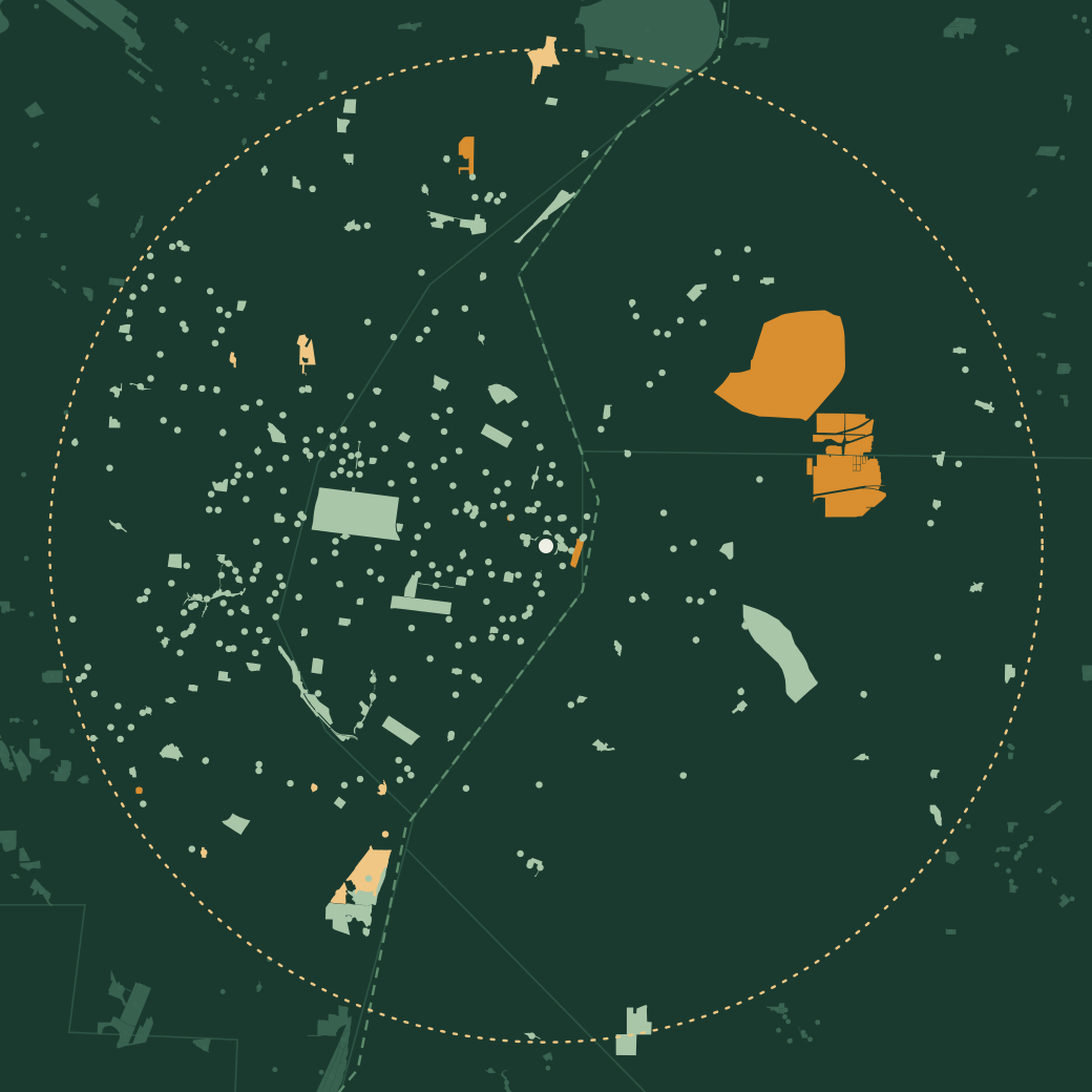
Map of the parks within 12 miles of downtown St. Louis, drawn with their real boundaries; Forest Park sits west of downtown, and the large state sites at Horseshoe Lake and Cahokia Mounds are across the river in Illinois
City County State, national & conservation Beyond 12 miles

National and state land first 341–350 of 397

  1. Stroup Fields

    City park9.1 miSt. Louis County

    Be the first
  2. Sublette Park

    City park4.7 miSt. Louis City

    Be the first
  3. Sugarloaf Township Park

    City park7.7 miSaint Clair County, ILSaint Clair, IL

    Be the first
  4. Sunken Gardens Park

    City park3.1 miSaint Clair County, ILSaint Clair, IL

    Be the first
  5. Surrey Lane Park

    City park8.4 miSt. Louis County

    Be the first
  6. Sutton Loop Park

    City park6.6 miSt. Louis County

    Be the first
  1. Tandy Park

    City park3.1 miSt. Louis City

    Be the first
  2. Tanglewood Park

    City park8.6 miSt. Louis County

    Be the first
  3. Taylor Park

    City park3.3 miSt. Louis City

    Be the first
  4. Taylor Park

    City park7.7 miSt. Louis County

    Be the first
Check in at these with thicketFree · iPhone & Android Download