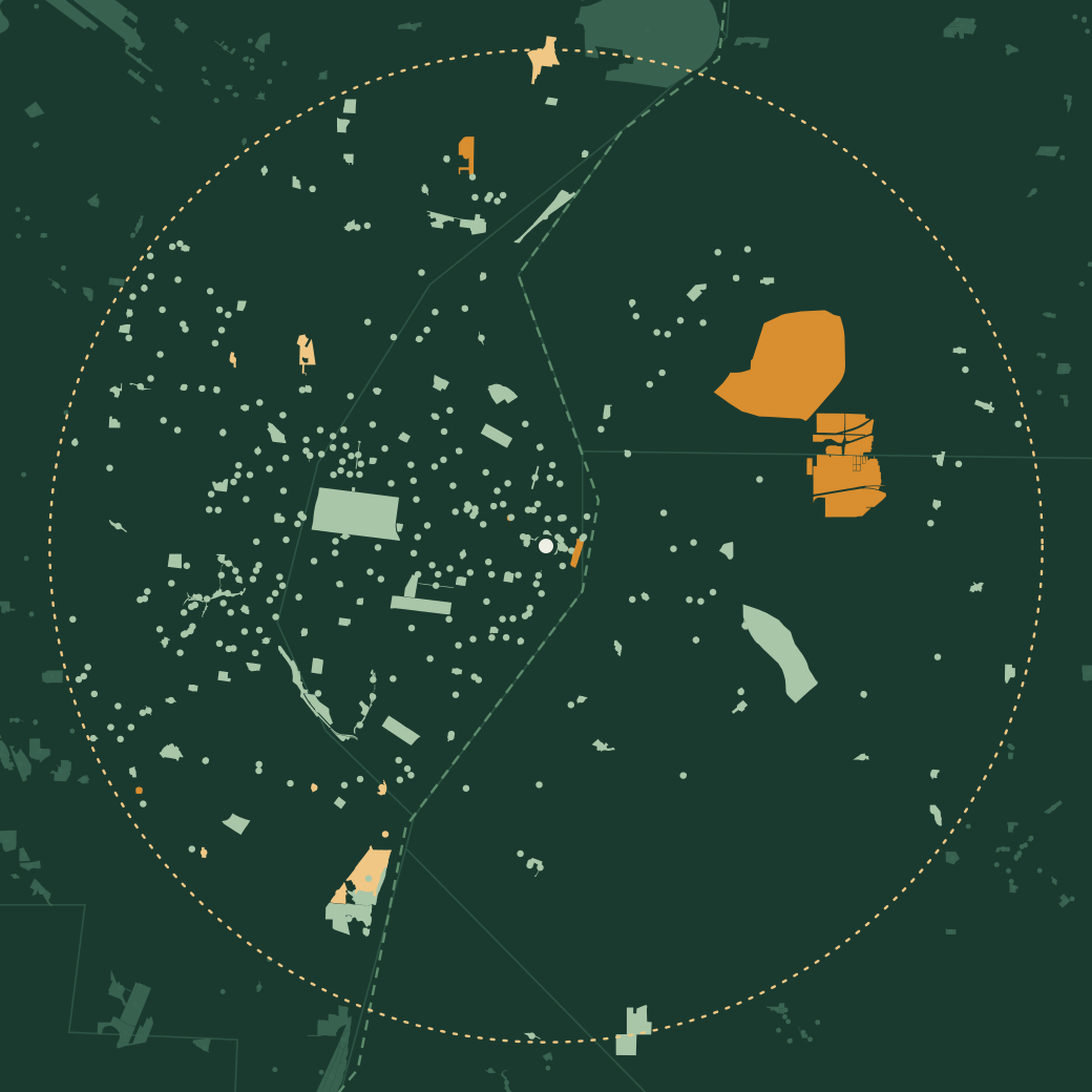
Map of the parks within 12 miles of downtown St. Louis, drawn with their real boundaries; Forest Park sits west of downtown, and the large state sites at Horseshoe Lake and Cahokia Mounds are across the river in Illinois
City County State, national & conservation Beyond 12 miles

National and state land first 381–390 of 397

  1. Warson Park

    City park11.0 miSt. Louis County

    Be the first
  2. Washington Square Park

    City park0.0 miSt. Louis City

    Be the first
  3. West End Park

    City park5.3 miSt. Louis City

    Be the first
  4. West Florissant Community Park

    City park8.9 miSt. Louis County

    Be the first
  5. Whitburn Park

    City park8.0 miSt. Louis County

    Be the first
  6. Whitecliff Park

    City park10.3 miSt. Louis County

    Be the first
  1. Wiese Quadrangle

    City park8.2 miSt. Louis County

    1 check-in
  2. Wild Acres Park

    City park11.5 miSt. Louis County

    Be the first
  3. Wilderness Park

    City park8.5 miSt. Louis County

    Be the first
  4. William L. Clay Sr. Sculpture Park

    City park4.9 miSt. Louis City

    Be the first
Check in at these with thicketFree · iPhone & Android Download